16nodes
16 nodes across Barcelona, with one link of 3.5 km between its two ends.
- Measured
Open-source LoRa mesh
Started at the UPC in 2021 as a final degree project. Tested on 16 nodes across Barcelona. Version 1.0 released in May 2026.
16nodes
16 nodes across Barcelona, with one link of 3.5 km between its two ends.
99.7%
99.7% of readings arrived on the 13 campus nodes, and about 80% with all 16 nodes and the long link.
3paid
Three paid engineering engagements for a European agri-robotics manufacturer.
The numbers behind this page.
SpecificationsFor town halls, farms and companies that want to try it on a real site.
Tell me about your siteFree and open source, MIT licence.
lib_deps = https://github.com/LoRaMesher/LoRaMesher.git#v1.0.0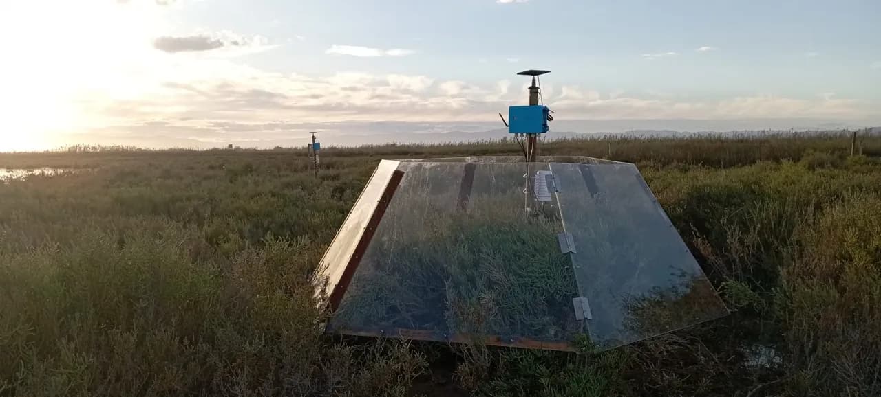
UPC, Barcelona. 16 nodes, permanent.

Delta de l'Ebre, with Hacking Ecology. LoRaMesher ran on their Nayad stations.

A real testbed in rural Catalonia. 10 nodes planned. More may join later, including devices from other organisations.
PlannedLoRaMesher is free to use. I help organisations put it to work on their own hardware and their own sites.
Porting the firmware to your boards and sensors, and fixing what breaks in the field. This is how the three paid engagements with an agri-robotics manufacturer went.
A look at your terrain, your sensors and your coverage, with how many nodes you would need and where. You get a written answer, including when LoRaMesher is the wrong tool for you.
Answers on the library, reviews of your integration, and improvements that go back into the open-source code so you never depend on a private fork.
I started this at the UPC in 2021. I answer every message.
Joan Miquel Solé, Barcelona
Finalist, Premis Fundació Caixa Enginyers Isabel P. Trabal 2026 · Six publications with the UPC research group, five of them as author
| Item | Value | Status |
|---|---|---|
| Readings delivered | 99.7% with 13 nodes. About 80% with all 16 nodes and the 3.5 km link. | MeasuredUnder review |
| Delivery time | Usually under two minutes. | MeasuredUnder review |
| Battery life | About two weeks on a small battery with no sun, in the lab. In the field a node runs on a small solar panel. | Measured |
| Security | No encryption yet. | Planned |
| Publications | Six with the UPC research group, five of them as author. |
I reply within two working days.
Your message is used only to reply. It passes through Resend (United States). Write to contact@loramesher.com to read or delete it.